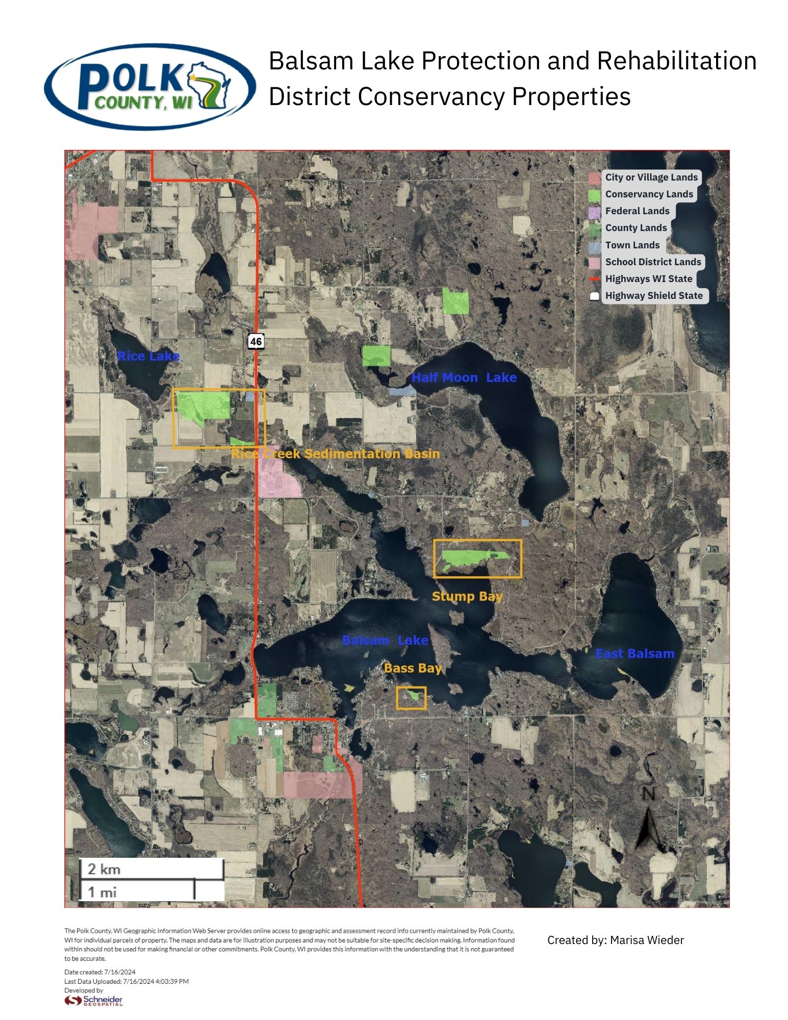
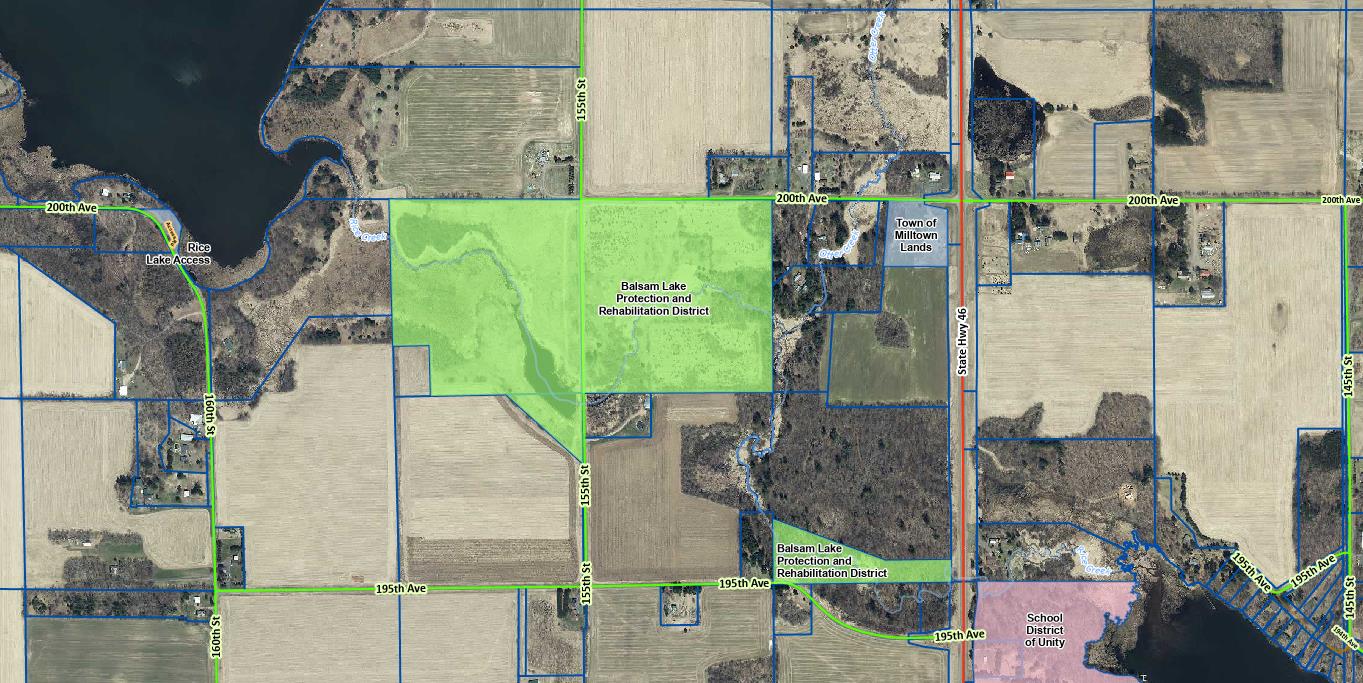
Rice Creek Sedimentation Basin Property
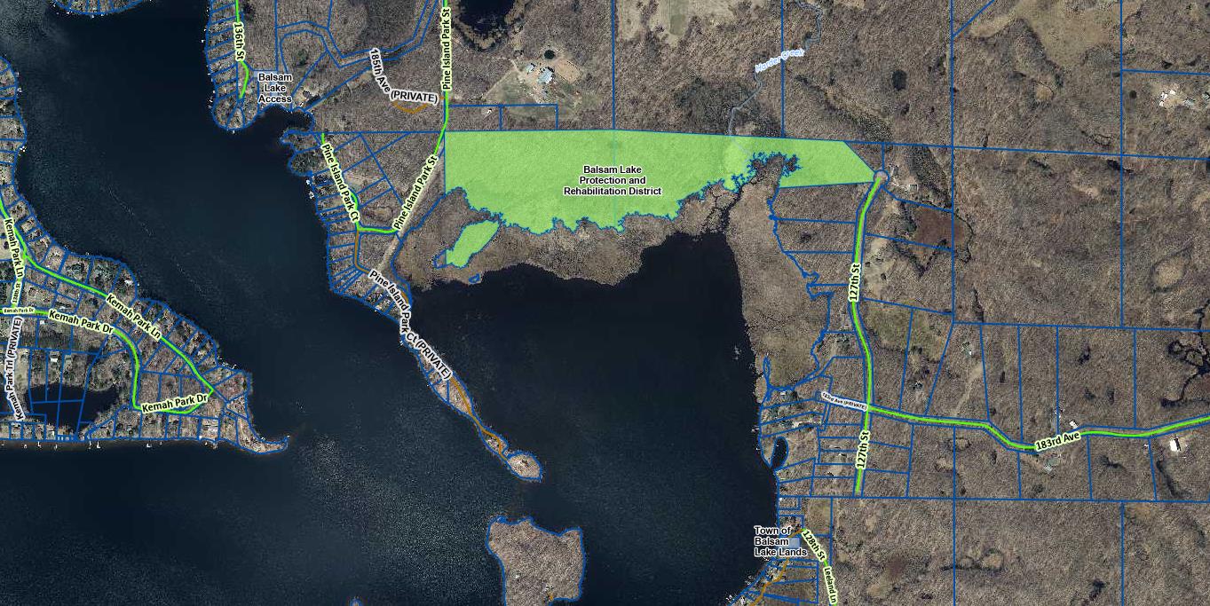
Stump Bay Property
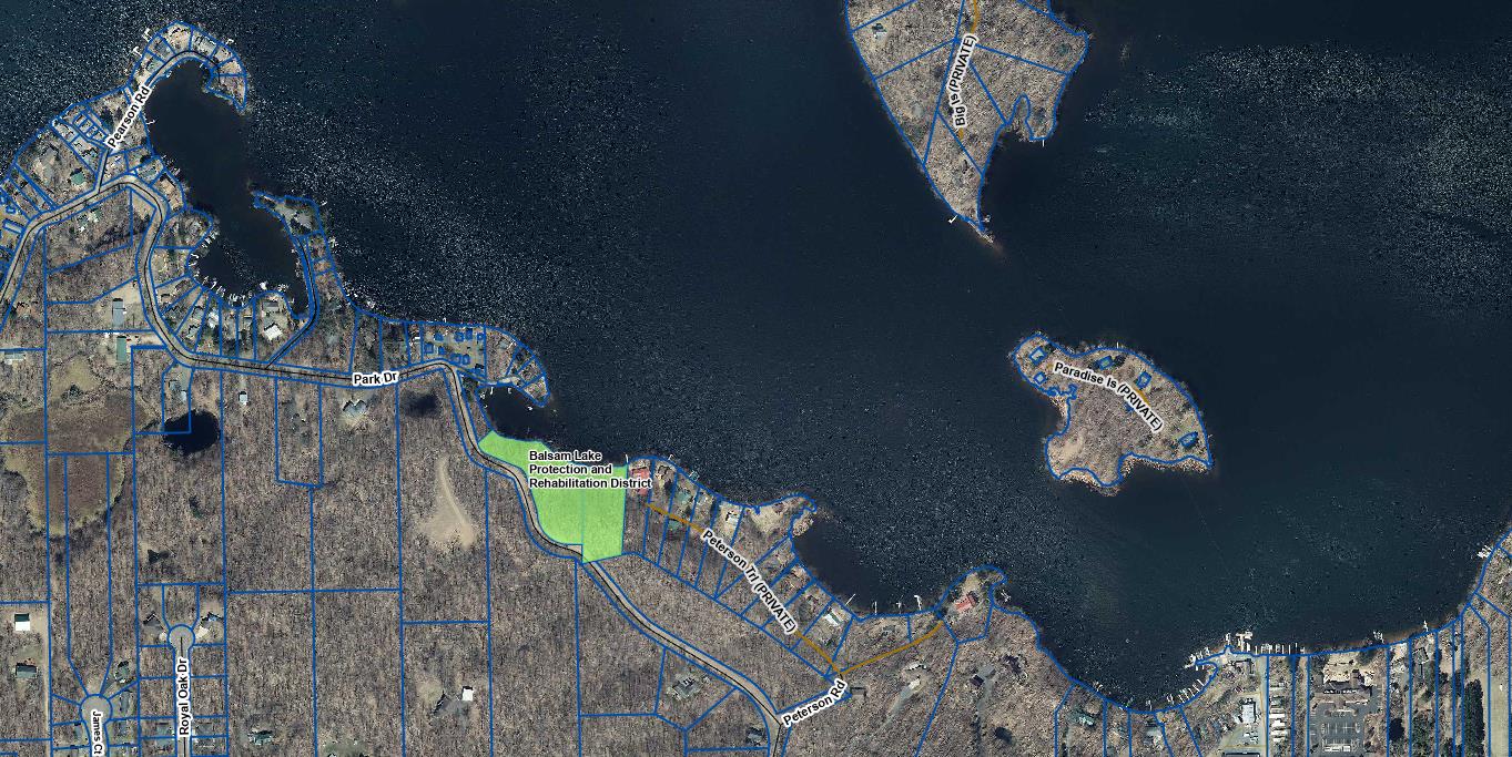
Bass Bay Property
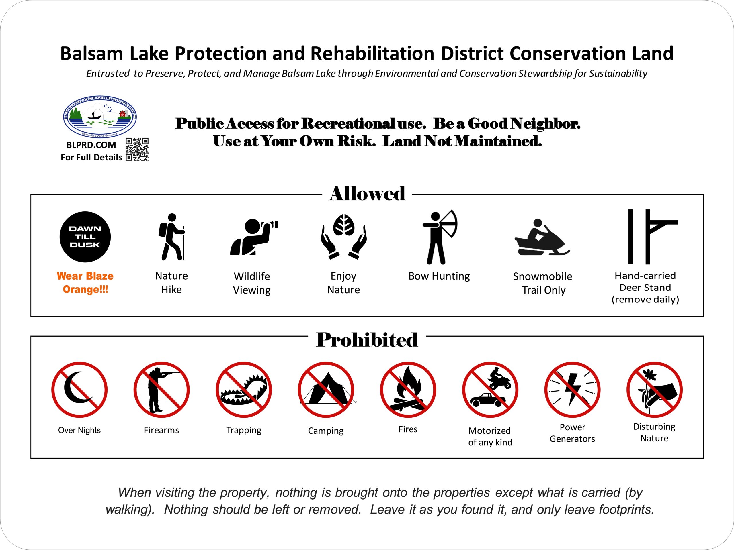
Balsam Lake Protection and Rehabilitation District Conservation Land Guiding Principles for Management, Sustainability, and Public Access Use
Approved by BLPRD board Spring of 2024
